From Settlement to Sailfish Capital: A short history of Stuart, Florida's waterways
- Geoffrey C. Smith

- Mar 21
- 4 min read
Barrier islands, like the ones along our coast (Hutchinson and Jupiter), are always moving. Storms open inlets, currents move sand, and sometimes those openings close again just as quickly. That’s been happening here as long as time.
Some early maps of the coast near the current-day Stuart, from the 1500s show an inlet in roughly this area, labeled “Santa Lucia.” Historians aren’t completely sure how accurate those maps were, though. Later surveys of the lagoon from the 1700s and early 1800s didn’t show a dependable inlet here at all.
What we do know is that settlers eventually decided to make one.
In 1844, a group of settlers took picks and shovels and cut an opening through the barrier island somewhere, I believe near what we now call Gilbert’s Bar (located about 100 yards off the House of Refuge on Hutchinson Island in Stuart, FL). Like most hand-cut inlets, it didn’t stay open easily. Sand kept moving back in.
A couple of fun historical interjections. First, Gilbert's Bar was shallow, and the pirate Don Pedro Gilbert used it as an escape route from deep-draft pursuit vessels, very exciting. Second is about Jonathan Dickinson, the person the park is named after. In 1696, he had to cross the "Santa Lucia" Inlet after being shipwrecked somewhere around the current park that bears his name.
Back to the short history ...
By 1892, a dredge was brought in to deepen a channel (near the current inlet) and make it more reliable for boats. Since then, the inlet has required regular dredging to keep it open as the barrier island continues to shift.
But the biggest change to our water didn’t really come from the inlet itself.

It came from a canal.
In 1924, engineers completed the St. Lucie Canal, connecting Lake Okeechobee to the St. Lucie River. The goals were boat traffic, flood control, and to "dry the swamp and sell the land". I got some swam to sell you.... Before that, the lake drained mostly south into the Everglades. Around that time, we were hit by two destructive hurricanes, and two dykes were built one after the other around Lake O, adding to the enviromental chose. Once the canal (and many others) were cut, water could move east toward the Atlantic through the river and the inlet, which sounded good in theory.
That connection changed the rhythm of the water around here.
Historical accounts of this area describe something many people don’t realize today. The St. Lucie River itself used to be known for remarkable fishing. Clear water, oysters, seagrass flats, huge tarpon, snook, trout and many other prized fish. Many US Presidents came to fish in our outstanding waters! Roosevelt, Cleveland, Arthur, Taft, and Harding. The waterways around Stuart were considered the jewel of fishing.
Presto-chango 🪄 (wave magic wand). After the canal from Lake Okchobbee (now called C44) started sending high-speed flows of dirty freshwater through the river and out the inlet, we realized a few things. All that lake water pushes out the clean salty water and brings in increased nutrient levels and pollution, causing algae and harming the environment & wildlife (shellfish, fish, dolphins, manatees, birds, and all), and now I have heard, we are running out of drinking water. The St. Lucie River is no longer paradise.

Meanwhile, the ocean just outside the inlet was becoming famous for something else entirely.
The Gulf Stream runs unusually close to this part of Florida’s coast, bringing sailfish within reach of small boats leaving the inlet. By the middle of the twentieth century, Stuart’s fishing reputation had shifted outward—from the river to the ocean. The fishing didn’t disappear here. It just moved offshore.
That’s when the nickname stuck:
The Sailfish Capital of the World.

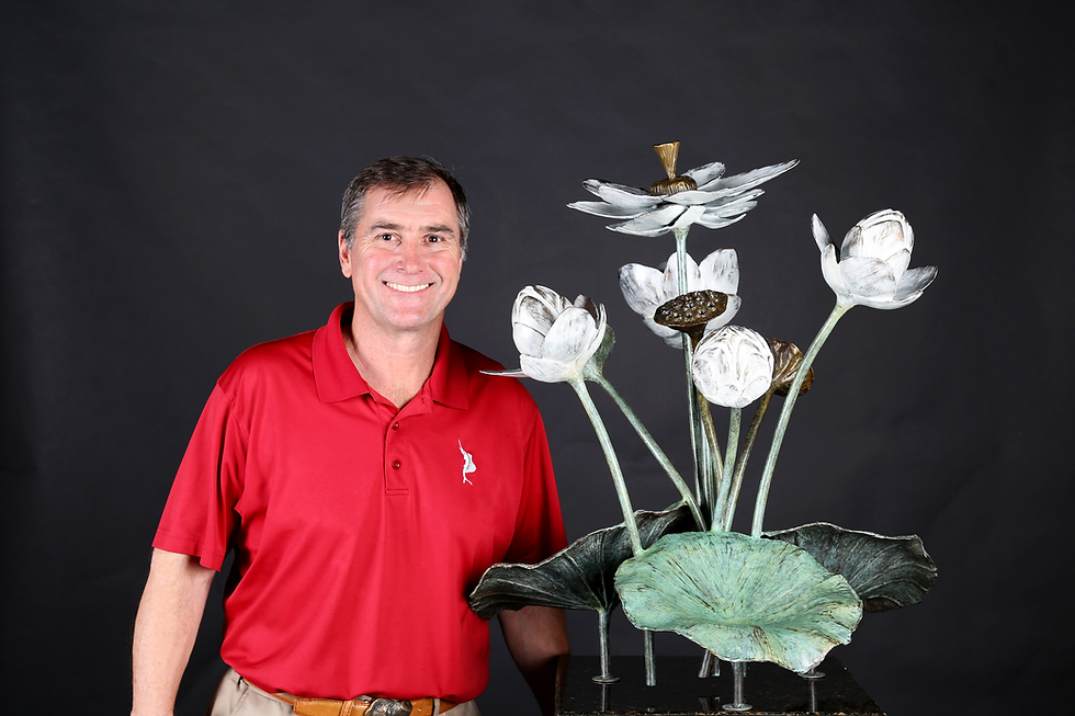
Geoffrey C Smith's Stuart Sailfish Monument is located in historic Downtown Stuart, FL
Standing along the coast today, it’s easy to think the inlet has always been here. But like most things in Florida, it’s really the result of storms, shifting sand, and a lot of human effort trying to shape the water around us.
Many persons and groups have worked very hard to undo the damage caused by unregulated growth and greedy developers. Last night I attended a fundraiser for Florida Oceanographic Society, where Mark Perry announced, "Zero scheduled releases from Lake Okeechobee to the St. Lucie, not just C44. We have not had any discharges to the St. Lucie River from Lake O since last year. We won't get any unless the lake goes over 16 1/2 ft. This is great news." I personally have hope that in my lifetime, the powers-that-be will fix all the water issues and let nature restore this and all the special waterways of South Florida.
Once you know this short history of Stuart Florida's waterways, it changes how you look at our coastline.
Be Well
Be Loved,
Geoffrey Smith
Afterthoughts: For much better historical accounts, I recommend Sandra Henderson Thurlow's history books.
Citation:
Much credit for my understanding is due to Sandra Henderson Thurlow's Books: Stuart on the St. Lucie and Sewall's Point
Click on the link below to see a great video of map overlays by
Martin County Historical Society
Coastal Hydrodynamics and Transport Process
Florida Fish and Wildlife Conservation Commission
Wikipedia